စိတ်ကူးချိုချိုစာပေ
Dr. Than Tun - History from His Majesty's Decree
Dr. Than Tun - History from His Majesty's Decree
Couldn't load pickup availability
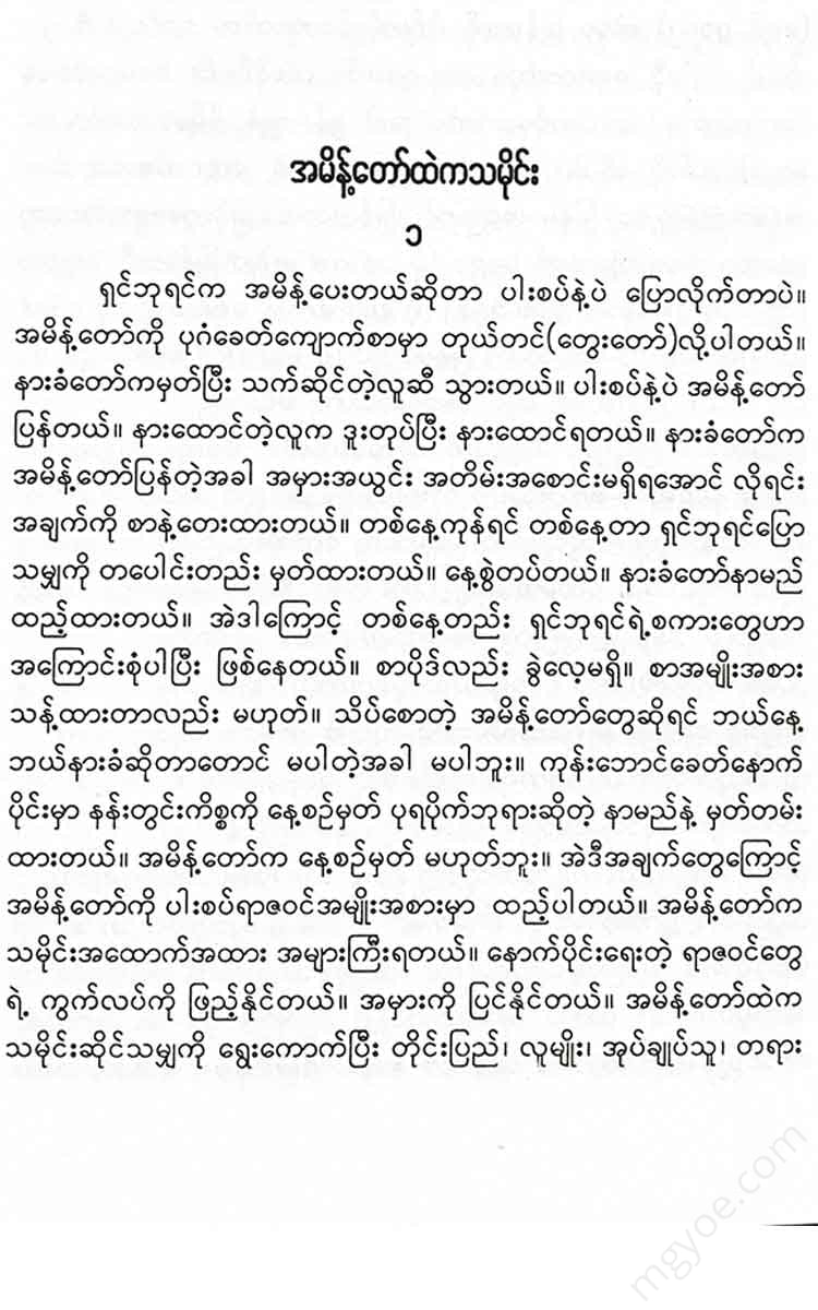
History from the command
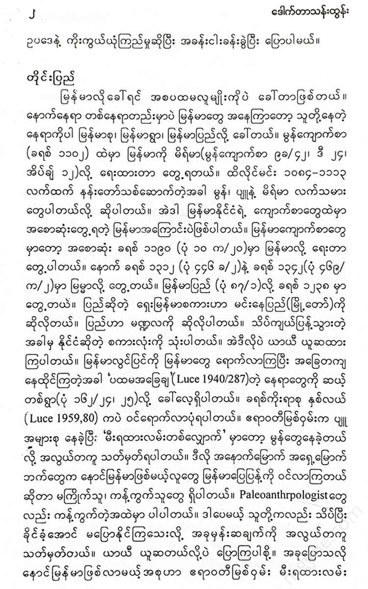
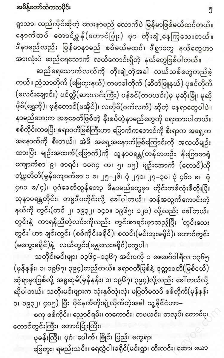
Sin Phyu Shin (1554-1581) captured Inwa on 22 January 1555, but did not use Inwa as his capital. The territory of Hanthawaddy Sin Phyu Shin was determined in 1593 as listed below (List 2084a, 4-7).
Children, Katha, Kamboja, Khanti,
Maymawara, Goelong, Sandar, Saint, Zenyin,
Nyaungshwe, Tamilitti, Tampadipa, Patkyi, Bhamo,
Mahanagara), Mongkhon, Mong Si, Mong Oo, Mong Pin,
Good rain, heavy rain, near rain, light rain, moderate rain,
Moewan, Thibaw, Sunapram, Theinwi, Ayutthaya,
There are twenty-four places in the collection. The time of compiling this list was when the power of Hanthawaddy White Elephant King was declining, and the state of the Shan State was about to collapse. The king's brother, Min Ye Ranta Meik, moved to Nyaung Ram, which was divided into parts, in 1596 and fortified the city walls (Yang Nan 3, 1967, 99), which clearly shows that he had become a king after the collapse of the Shan State. The surrounding areas were taken over by Inwa on 27 July 1597. An edict was issued on 12 July 1598 declaring Inwa as the central administrative center of the state. That date is considered to be the beginning of the second Inwa period. He assumed the position of king in Inwa on 13 February 1600. Then the Shan states were taken over in the order given below.
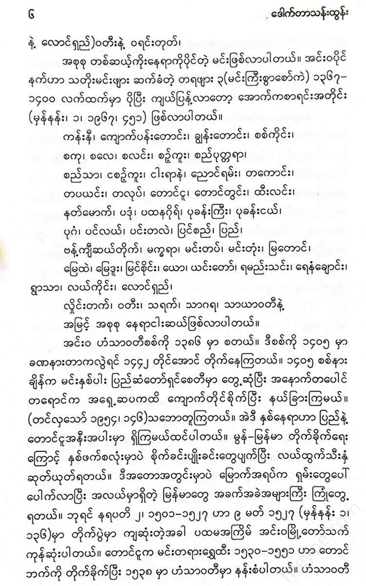
Moe Kaung, Moe Hnyin, Nyaung Shwe, Bhamo, Moe Nai, Moe Bry, Sar, Rok Saw, Naung Mon, Mong Pat, Mong Kai, Ti Kyas, Moe Meik and Sini.
Further west, during the period 1606-1628, additional places of conquest were
The dates of the country (2 July 1608) are the dates of the decrees. Taungoo (24 August 1610), Thanlyin (18 March 1613), Hanthawaddy (3 May 1613), Mottama (7 November 1613), Dawei (15 December 1613), Tanintharyi (26 December 1613), Zinmae (25 November 1614)
It is known that Lin Zin (26 November 1614) and Thindwe (September 1615) divided the Inwa Kingdom into ten kingdoms (List 1105a, 66-71).
(1) Kamboja Region, Nyaung Shwe, Moenei, Thipaw, (2) Khemawara, Kyaing Ton, (3) Zeyawanuka Region, Ketumati, Zeyawadi, (4) Zain Region, Gowlon, Khanda, Bhamo, (5) Thamapadipa Region, Bagan, Pinya, Myin Sai, Inwa, (6) Mahanagara Region, Kyaing Rong, Mong Si, (7) Ramanaya Region, Kusham, Dagon, Dala, Muttima, Rong Mya, Hansawadi, (8) Sunaparanda Region, Kalay, Saku, Salin, Fong Lin, Lekai, Thaung Thup, (9) Sri Kshetra Region, Pandaung, Sri Kshetra, Udetrik, (10) Haripunsa Region, Kyaing, Zin Ma.
The country is so vast that when issuing decrees, they are required to issue them in three languages: Mon, Burmese, and Yun. This means that since there are many different languages and ethnic groups, mutual understanding can only be achieved by using one of the three languages.
I think it is an Indian custom to divide the country into eight and sixteen regions. (Tin, 2, 1932, 93) Before the Indian influence, the area where irrigated agriculture began to develop was called kron (district), and later it was expanded and the areas where the fields were built were called. These terms are still used today. The change of name is constant. Cities are destroyed, new cities are built. There are various reasons for this in their own time. For example, Inwa was built and destroyed four times. Inwa was renamed Shwe (August 30, 1598). Ratur is now called a village. Tamot, Thintaung, Pwtshar, and Khar are now villages. The fields, which were originally eleven villages, are now nine fields.
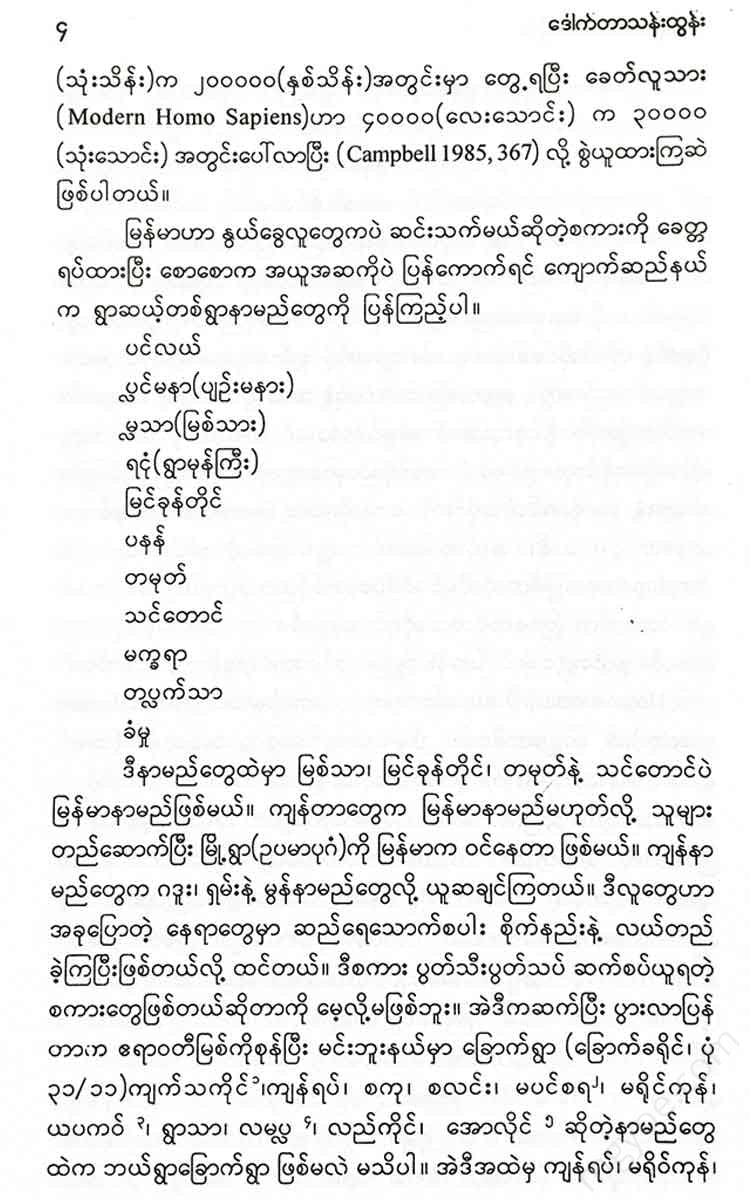
"Saw Hla's, the sea, the river, the mountain, the mountain, the horse jumping, the mountain
The star is a new name. As mentioned earlier, the old eleven, Tamot, Thindaung, Pettha, and Kyarth, have been eliminated. Yatur is no longer listed. The list of lands has also changed. It has increased. This means that the farmland has expanded. The greater the king's power, the more military power he needs. When there is no war, the increased armed forces have to engage in agriculture. In this case, the list of lands can be listed together with the date of the decree.
Eastern Division (Stone Division), from the eastern border of the Ayeyarwady to the Myit Nge River (31 May 1679, 2 June 1679, 29 November 1787, 24 December 1787, 4 May 1795, 12 August 1795, 25 May 1801, 6 July 1801, 9 February 1806, 22 June 1806) (If you search for the dates and orders mentioned in the 10 volumes of the Summary of Orders, which I have edited and translated into English, you will be able to know the relevant circumstances. The use of the Christian calendar is deliberate to make it comparable with world history).
The western border is the reverse of the eastern border, and the area south of Innwa to Yamethin is also included in the western border. (31 May 1679, 2 June 1979, 28 November 1783, 28 November 1784, 29 December 1784, 25 November 1786, 11 July 1787, 17 December 1787, 26 May 1795, 7 January 1801). .
The southern border is from Chindwin to the west, from Kani to Pokhangyi. (31 May 1679, 2 June 1679, 16 December 1783, 15 May 1784, 2 October 1785, 29 September 1787, 9 October 1787, 15 October 1787, 29 November 1787, 1 April 1788, 2 April 1788, 10 July 1795, 7 June 1801, 22 June 1806).
The northern battle site is on the north side of the widower. (1 March 1569, 31 May 1679, 2 June 1679, 16 August 1783, 19
